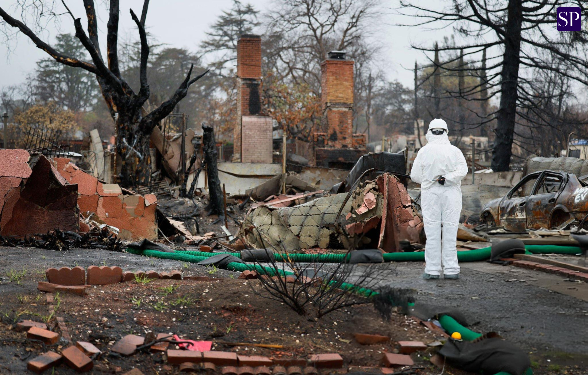
The category five Tropical Cyclone Zelia has intensified further as it speeds toward the Western Australian coastline. Meteorologists warn that the cyclone could bring devastating winds of up to 300km/h, torrential rains, and widespread flooding, making it an imminent and serious threat to the region.
Cyclone Zelia Gains Strength Overnight
The storm system expanded significantly overnight on Thursday, with its reach now spanning from Karratha to Wallal Downs along the coast and extending inland through Tom Price and Newman. Initially projected to make landfall later in the evening, the cyclone has accelerated, and meteorologists now expect it to hit Western Australia by 3-4 PM on Friday.
Severe Weather Warnings Issued
The Bureau of Meteorology (BoM) has issued a series of severe weather alerts for coastal and inland communities, warning residents of the impending impact. Meteorologist Angus Hines emphasized the storm’s severity, stating, “It does not get any worse. This is the highest category on the scale, meaning we are dealing with extremely destructive winds, torrential rains, and an inevitable storm surge.”
Projected Landfall and Storm Path
Initially expected to strike west of Port Hedland, the cyclone has slightly shifted eastward, now predicted to cross near Wallal Downs. The storm is currently positioned approximately 100 kilometers north of Port Hedland, moving steadily toward landfall.
Hines further explained, “We’re expecting extreme conditions near the crossing point. Winds of 300km/h can completely flatten trees, rip out power lines, and cause catastrophic damage to infrastructure and homes.”
Flooding and Rainfall Predictions
The BoM has placed flood watches across multiple catchments, covering regions in the Pilbara, western Kimberley, and northern Gascoyne. Expected rainfall amounts are staggering, with up to 500mm projected to drench affected areas.
Already, Wallal Downs has recorded 90mm of rainfall in the past 24 hours, and officials are urging residents to prepare for the likelihood of severe flash flooding.
Storm Surge and Dangerous High Tides
Residents in Port Hedland and east to Wallal Downs face a serious storm surge risk, with ocean levels predicted to rise well above normal high tide marks. Dangerous waves and severe coastal flooding may affect low-lying areas, making these locations particularly vulnerable.
Evacuation Orders and Emergency Responses
The Department of Fire and Emergency Services (DFES) issued an urgent warning early Friday morning, instructing residents in Pardoo to Whim Creek to seek shelter immediately.
“There is a threat to lives and homes. You are in danger and need to act immediately. Shelter indoors now. It is too late to leave. Stay in the strongest, safest part of the building and avoid windows and doors,” the agency warned in a statement.
To accommodate displaced residents, evacuation centers have been set up in South Hedland and Stove Hill. Authorities encourage evacuees to bring bedding, essential supplies, and identification if possible.
Transportation Disruptions and Infrastructure Damage
Due to rising floodwaters and hazardous conditions, major roads have been closed, including:
- Port Hedland Road
- Parts of the Great Northern Highway
- Marble Bar Road
- Ripon Hills Road
Local emergency response teams are on high alert, working with retail suppliers, transporters, and community organizations to ensure essential goods and emergency supplies reach impacted areas.
Preparations Underway in the Pilbara Region
Authorities have distributed over 10,000 sandbags to residents and businesses in an attempt to mitigate flood damage. Additional emergency personnel have been deployed to assist in rescue operations and post-storm recovery efforts.
School Closures and Public Safety Measures
Twenty-one schools across affected regions have been closed, including:
- Baler Primary School
- Hedland Senior High School
- Karratha Primary School
- Port Hedland Primary School
Western Australia Premier’s Warning
WA Premier Roger Cook addressed the state on Thursday, stressing the severity of the storm:
“This is a dangerous system. It’s big, it’s strong, and it’s very unpredictable. People in the Pilbara must prepare now, and they must do it immediately.”
Conclusion
With Tropical Cyclone Zelia rapidly approaching Western Australia’s coast, authorities and residents must remain on high alert. The storm’s extreme winds, flooding potential, and dangerous storm surge pose significant risks. Emergency teams are working around the clock to minimize damage and keep the public safe. As conditions worsen, following official safety guidelines is critical to protecting lives and property.
